


$51,894*
●
Land -
Off Market
ON ROCKY CARRIE RD
Phillips, WI 54555
Studio
0 Bath
$40,000 - $50,000
Reference Base Price*
15.58%
Since Aug 1, 2021
National-US
Primary Model
About This Property
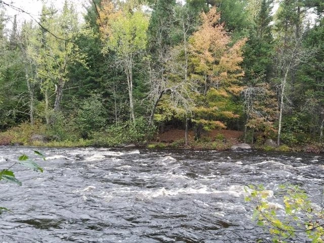
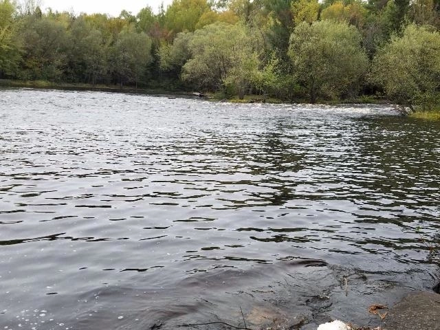
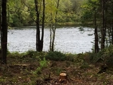
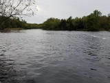
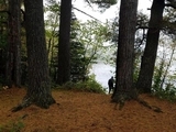
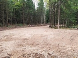
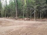
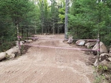
(414/JG) Picnic Point Paradise! 1.4+/- acres with over 400' of
shoreline on one of the nicest locations on the Flambeau River near
Lugerville. Beautifully wooded site where a Class III rapids
empties into a deep wide pool that holds plenty of fish! Driveway
installed and site cleared. Located 11 miles NW of Phillips on
Rocky Carrie Road. 2020 taxes: $424. (Part of G.L. 6, 9-38-1W)
Unit Size
-
Days on Market
-
Land Size
1.40 acres
Price per sqft
-
Property Type
Land
Property Taxes
$424
HOA Dues
-
Year Built
-
Price History
| Date / Event | Date | Event | Price |
|---|---|---|---|
| Jul 1, 2021 | No longer available | - | |
| No longer available | |||
| Mar 24, 2021 | Price Decreased |
$44,900
↓ $4K
(8.2%)
|
|
| Price Decreased | |||
| Nov 8, 2020 | Relisted | $48,900 | |
| Relisted | |||
| Nov 6, 2020 | No longer available | - | |
| No longer available | |||
| Oct 16, 2020 | Price Decreased |
$48,900
↓ $21K
(30%)
|
|
| Price Decreased | |||


Show More

Property Highlights
Building Info
Overview
Building
Neighborhood
Zoning
Geography

ON ROCKY CARRIE RD
By proceeding, you consent to receive calls and texts at the number you provided, including marketing by autodialer and prerecorded and artificial voice, and email, from Move, Inc., Move Sales, Inc., Opcity, Inc., realtor.com, and their network of service providers, about your inquiry and other home-related matters, but not as a condition of any purchase. Msg/data rates may apply. This consent applies even if you are on a corporate, state, or national Do Not Call list.
By proceeding, you agree to our Terms of Service.