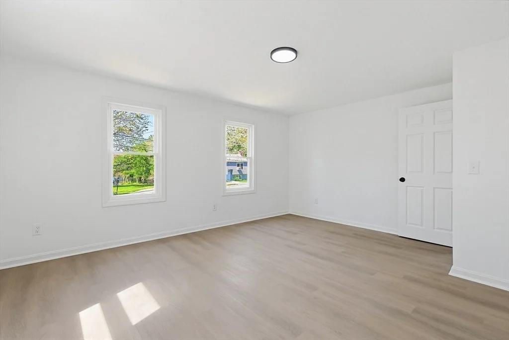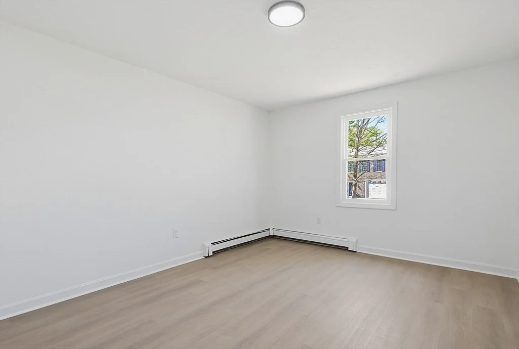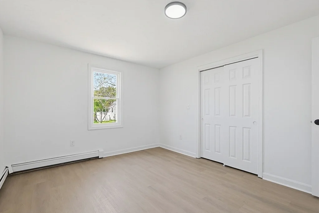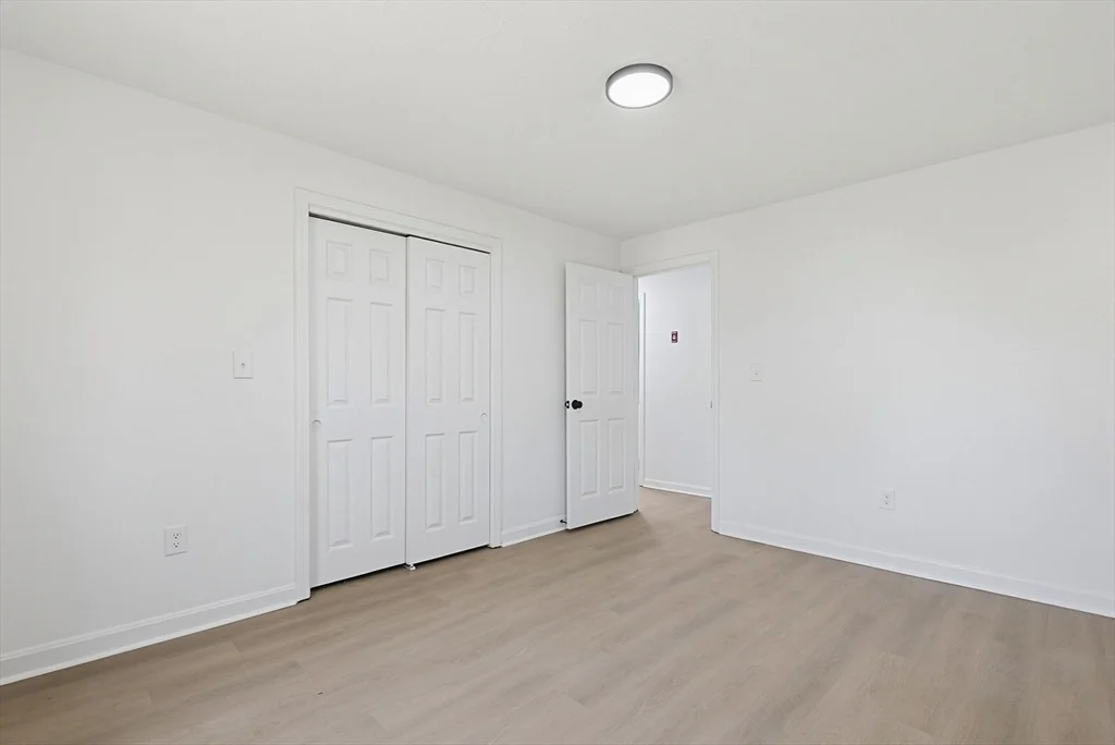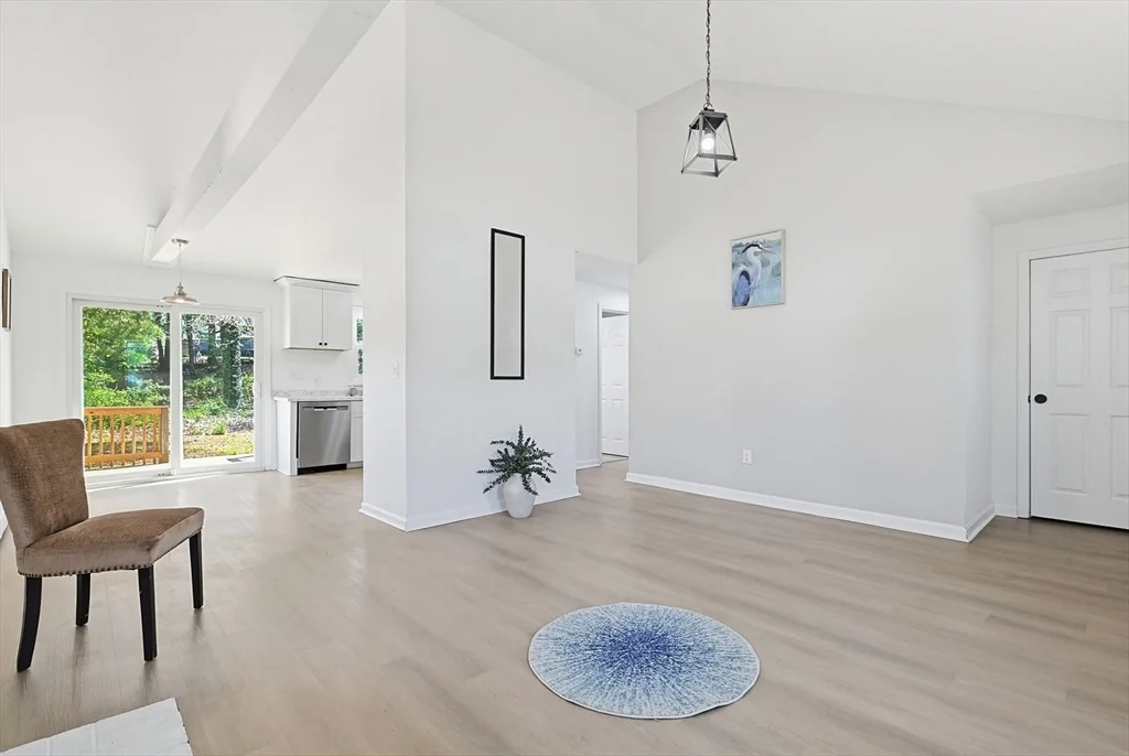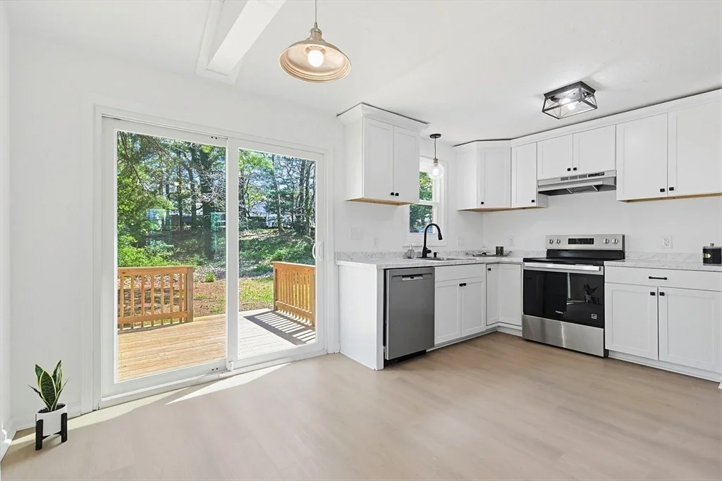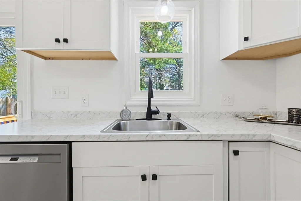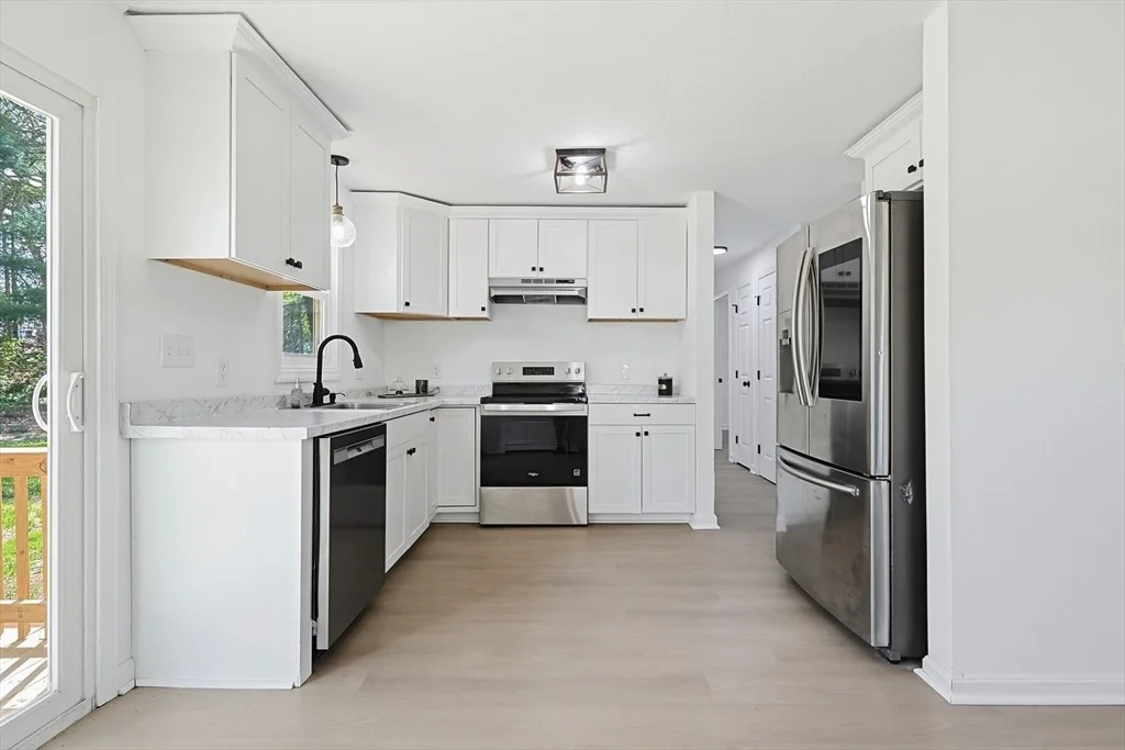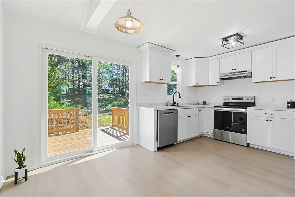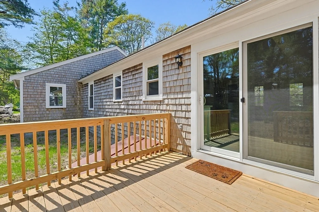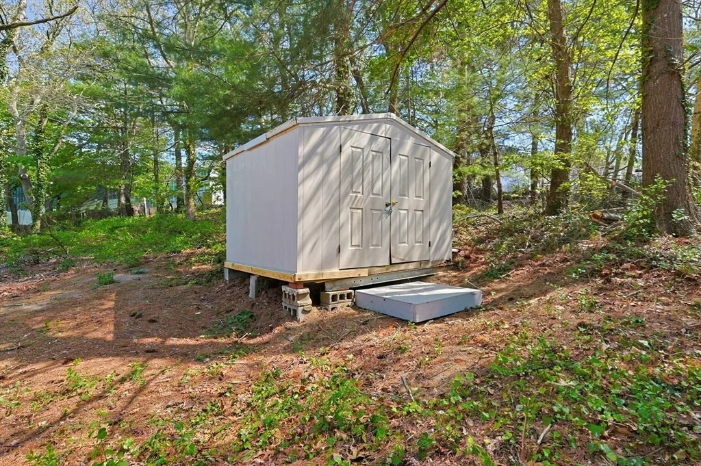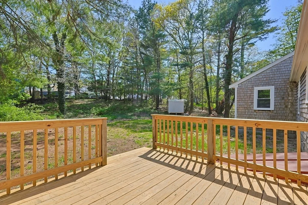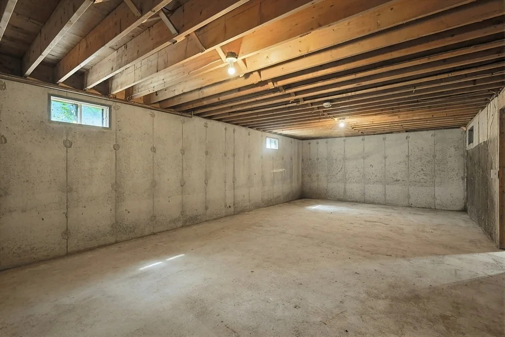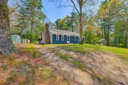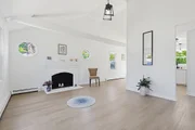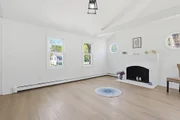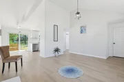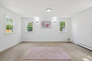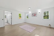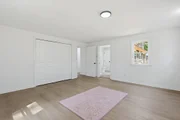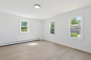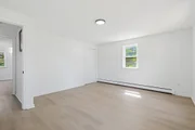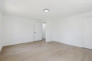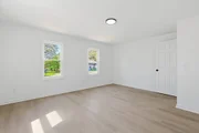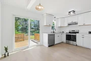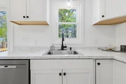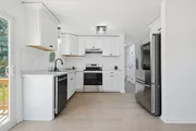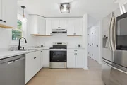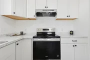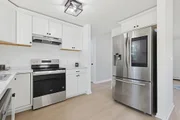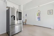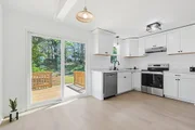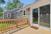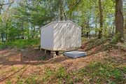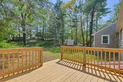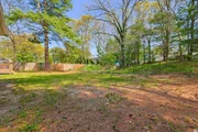
See Home Value
Barnstable 02534
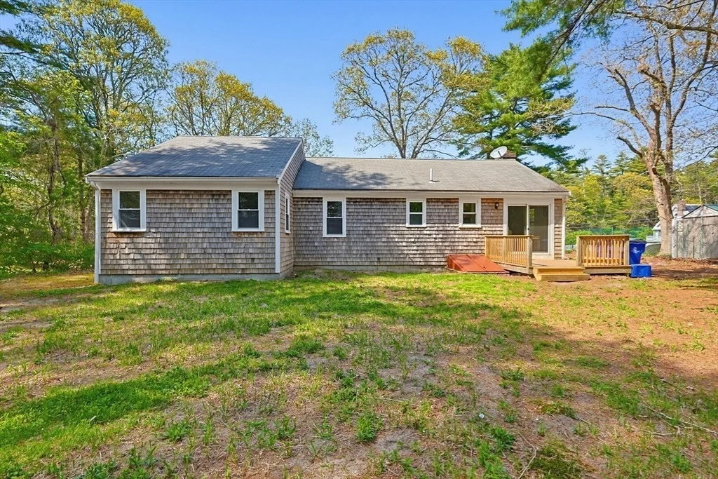
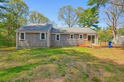
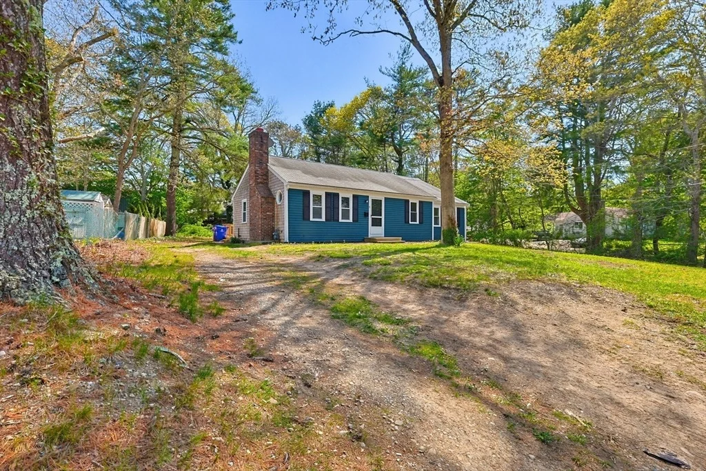
9 Scraggy Neck Rd Ext
$549,900
● House - Off Market

9 Scraggy Neck Rd Ext

Bourne, MA 02534
bedrooms
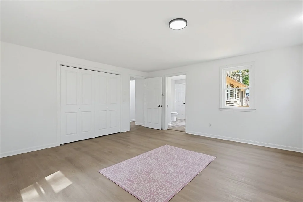
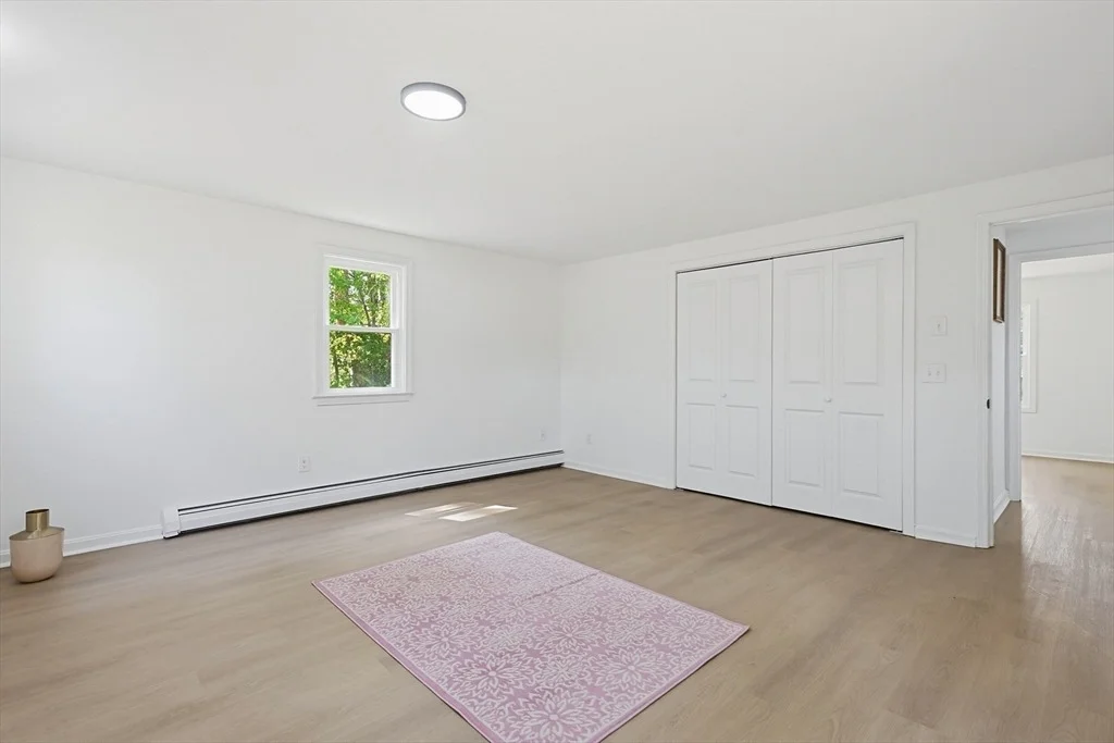
3 Beds
bathrooms
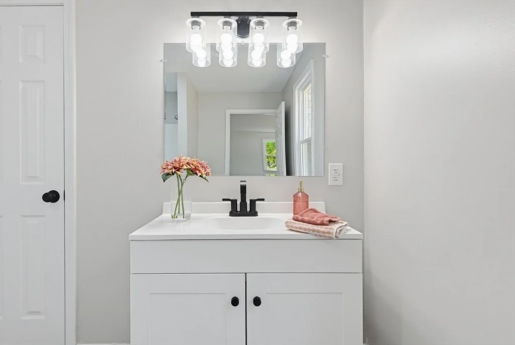
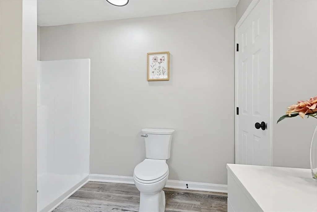
2 Baths
square feet
1,540 Ft²
$2,964
Est. Monthly
Unit Size
1,540 Ft²
Days on Market
-
Land Size
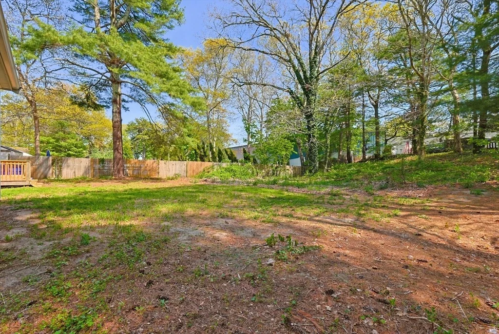
0.44 acres
Price per sqft
$357
Property Type
House
Property Taxes
$263
HOA Dues
-
Year Built
1982

Payment Calculator

Cap Rate Calculator

Last updated: 5 months ago (MLSPIN #73521796)

Price History

Date / Event Date Event Price
Jul 17, 2026 Sold
Sold
Jun 23, 2026 In contract -
In contract
Jun 10, 2026 Price Decreased $549,900
↓ $40K (6.8%)
Price Decreased
May 20, 2026 Listed by eXp Realty LLC - Corporate Office $589,900
Listed by eXp Realty LLC - Corporate Office
Oct 16, 2000 Sold
Sold
Show More

Property Highlights

Parking Available
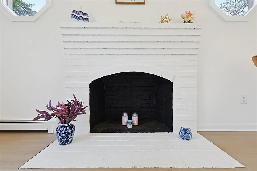
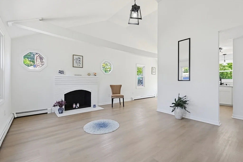
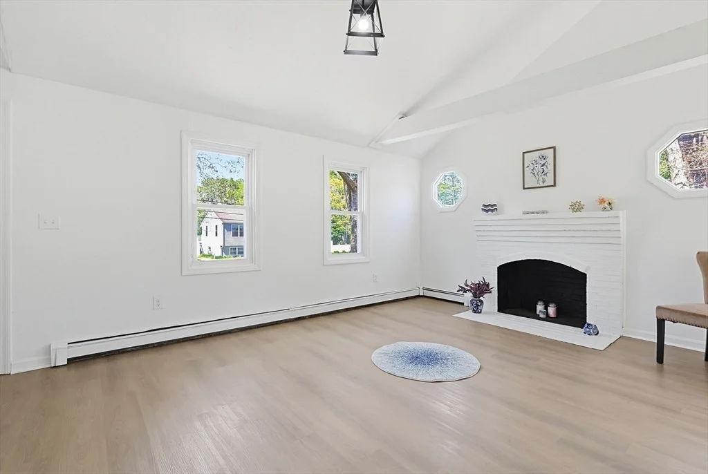
Fireplace

Building Info

Overview

    General

  • Year Built: 1982
  • Effective Year Built: 1999
  • Building Count: 1
  • Total Rooms: 7
  • Bedroom Count: 4
  • Bathroom Count: 3
  • Full Bathrooms: 3
  • Partial Bathrooms: 3
  • Building Condition: 6
  • Building Quality: 0
  • Construction Type: 6
  • Building Style: 11
  • Exterior Walls Type: 19
  • Interior Walls Type: 0
  • Roof Shape Type: 1
  • Roof Cover Type: 15
  • Floor Count: 100
  • Living Units: 1
  • Floor Cover: 0
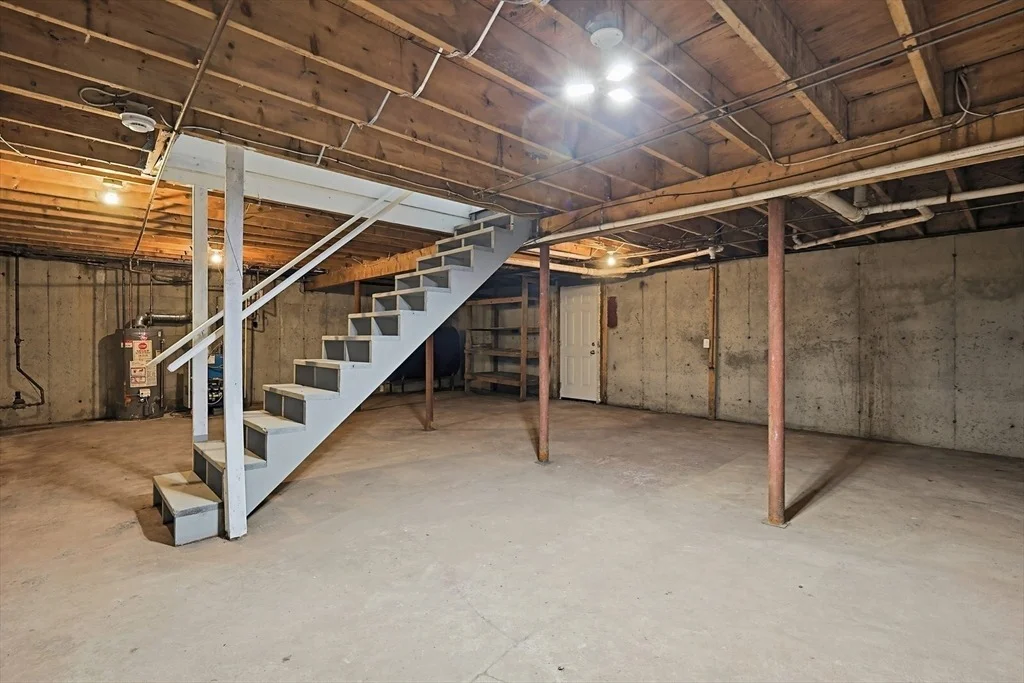
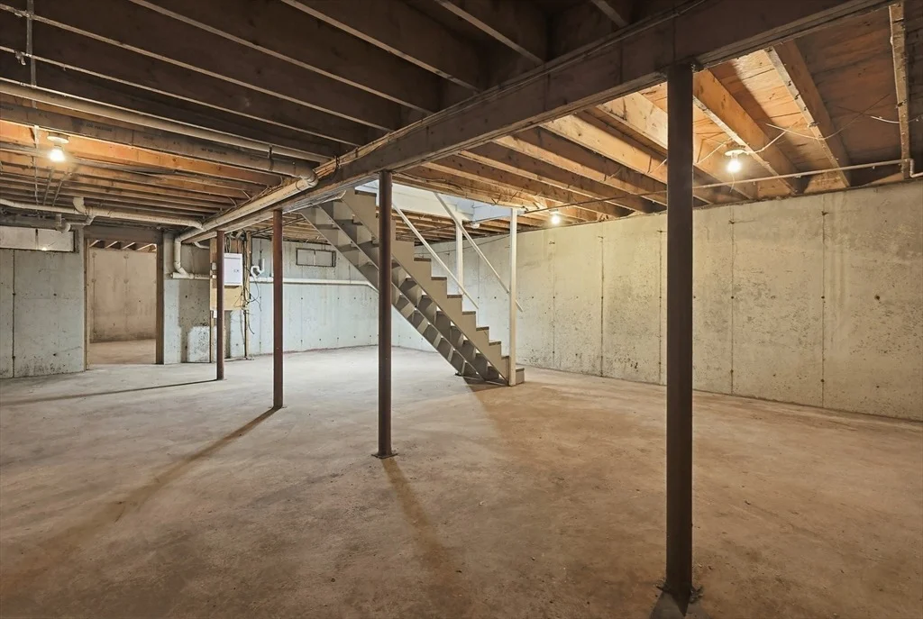
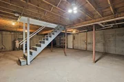
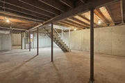
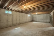
  • Basement Type: 0
  • Basement Area: 0
  • Garage Type: 7
  • Parking Space Count: 2
  • Patio Type: 0
  • Porch Type: 0
  • Pool Type: 0

    Dimensions

  • Lot Size Square Feet: 32,147
  • Total Building Area: 2,358
  • Gross Building Area: 5,940
  • Building Area: 2,358
  • Building Area Measurement: L

    Heating and Cooling

  • Fireplace Count: 1
  • Air Conditioning: 13
  • Heating: 4
  • Heated Square Feet: 2,358
  • Heating Fuel Type: 3

    Utilities

  • Sewer System: 0
  • Water Service: 0

Building

  • Building Type: 0
  • Property Class: R
  • Subdivision: JOHN T SHULTZ & B MILDRED MOON
  • Land Acres: 0000000738
  • Standard Land Use Code: 1001
  • County Land Use Code: 101

Neighborhood

  • School District Name: Bourne School District
  • Census Tract: 014002

Zoning

  • Zoning: R40

Geography

  • Account Number: 11024
  • Parcel: BOUR M:51.4 P:64
  • Municipality: BOURNE
  • Latitude: 41.6644
  • Longitude: -70.6088

    Address

  • Full Address: 9 Scraggy Neck Rd
  • Address - House Number: 9
  • Address - Street Name: Scraggy Neck
  • Address - Suffix Type: Rd
  • State: MA
  • City Name: Cataumet
  • Carrier Code: R777
  • 4-Digit Zip Code: 1086
  • Zip Code: 02534

Valuation

    Tax

  • Tax Year: 2024
  • Tax Amount: $560,400

    Appraisal Valuation

  • Standard Deviation: 0.2112
  • Valuation Date: Feb 07, 2024
  • Confidence Score: 71
  • Final Value: 800,674
  • High Value: 969,848
  • Low Value: 631,500

    Assessments Valuation

  • Assessed Year: 2024
  • Assessed Total Value: $698,700
  • Assessed Land Value: $255,100
  • Assessed Improvements Value: $443,600

    Sales

  • Current Sale Recording Date: Oct 16, 2000
  • Current Sale Price:
  • Current Sale Document Type: 71
  • Previous Sale Recording Date: Jul 01, 1998
  • Previous Sale Amount: $130,000
  • Previous Sale Document Type: 27
Data used for valuation calculations is provided by RealtyHop, and other third party sources

Comparables

Unit
Status
Type
Beds
Baths
ft²
Price/ft²
Asking Price
Listed On
Closing Price
Sold On
HOA + Taxes

About Barnstable


Similar Homes for Sale

Currently no similar homes around

Nearby Rentals


Frequently Asked Questions

When was property at 9 Scraggy Neck Road built and last sold?
The property at 9 Scraggy Neck Road was built in 1982 and last sold on Jan 1, 1970 for $170,000.
How much is this home worth?
The estimated value of the home located at 9 Scraggy Neck Road is $606,777.
What are some comparable homes to 9 Scraggy Neck Road?
There are currently no comparable homes to 9 Scraggy Neck Road.