


745 Nugget Hill Road


About This Property
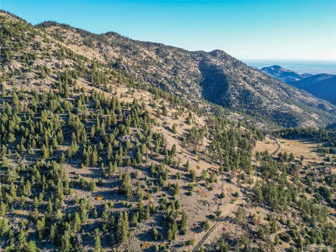
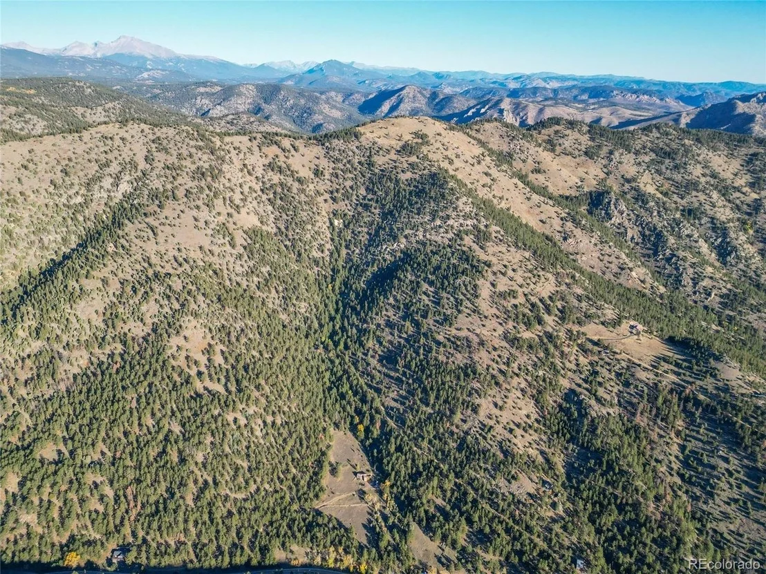
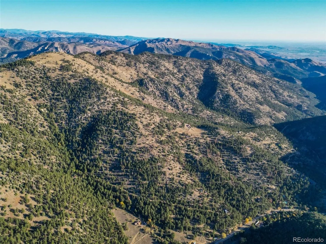
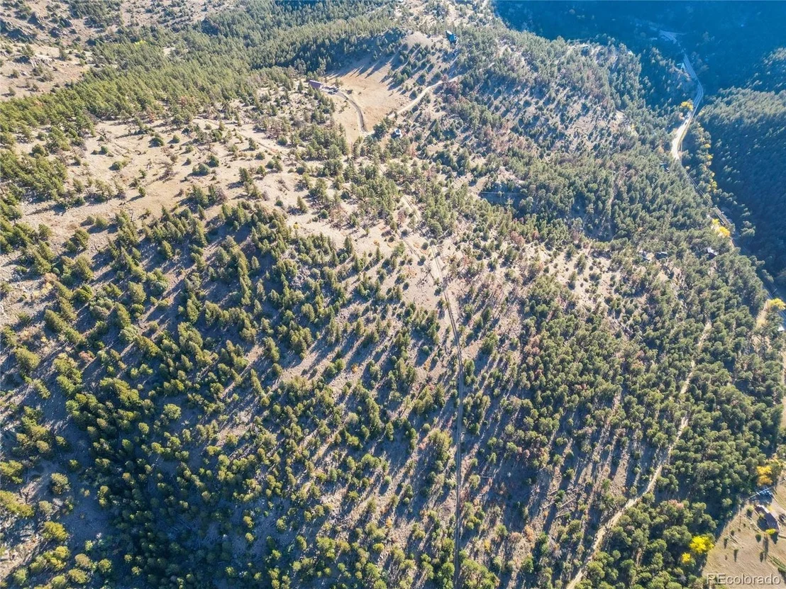
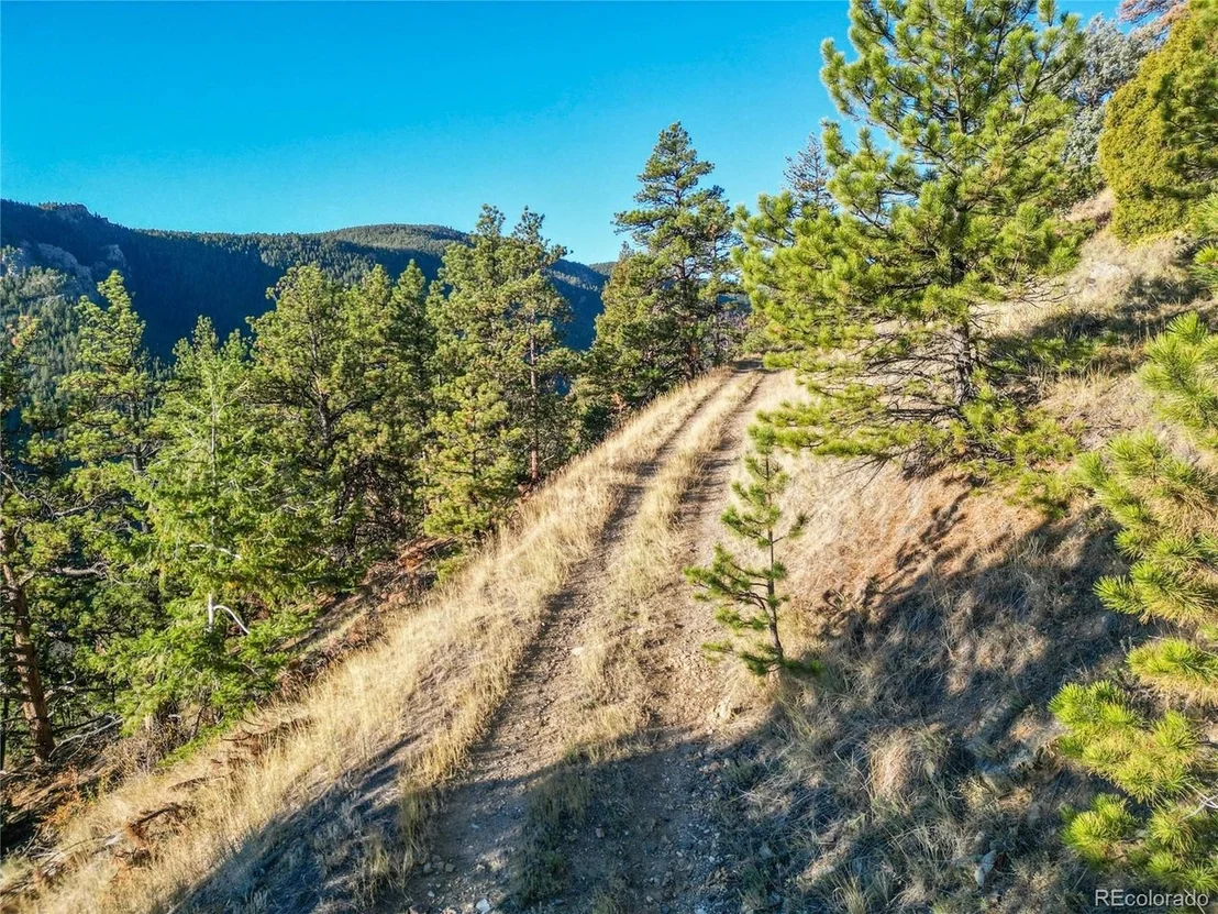
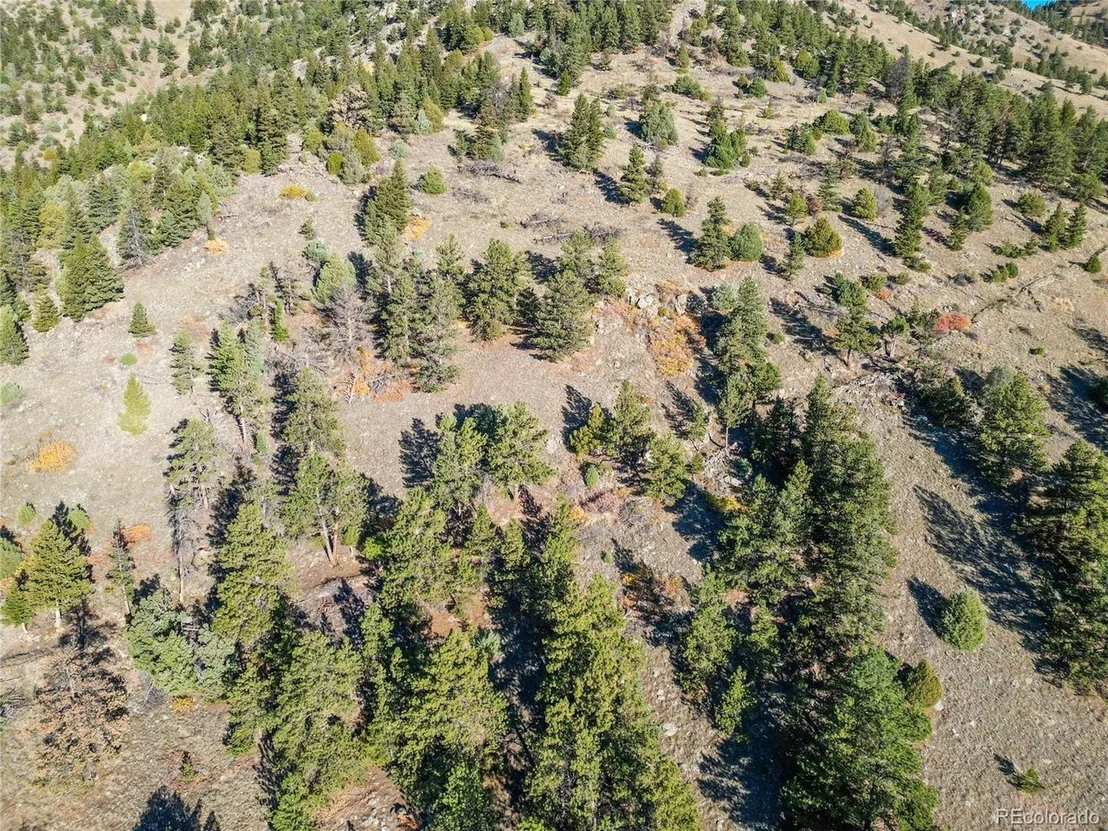
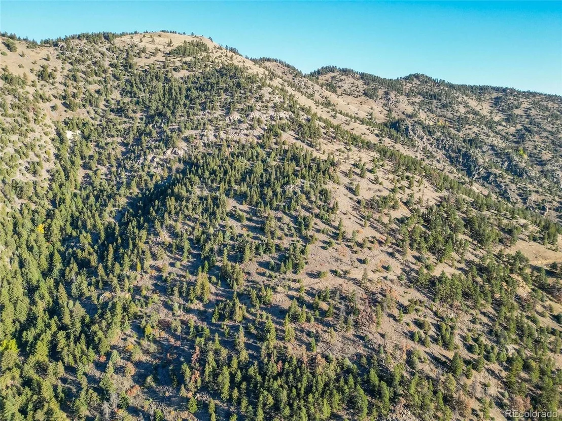
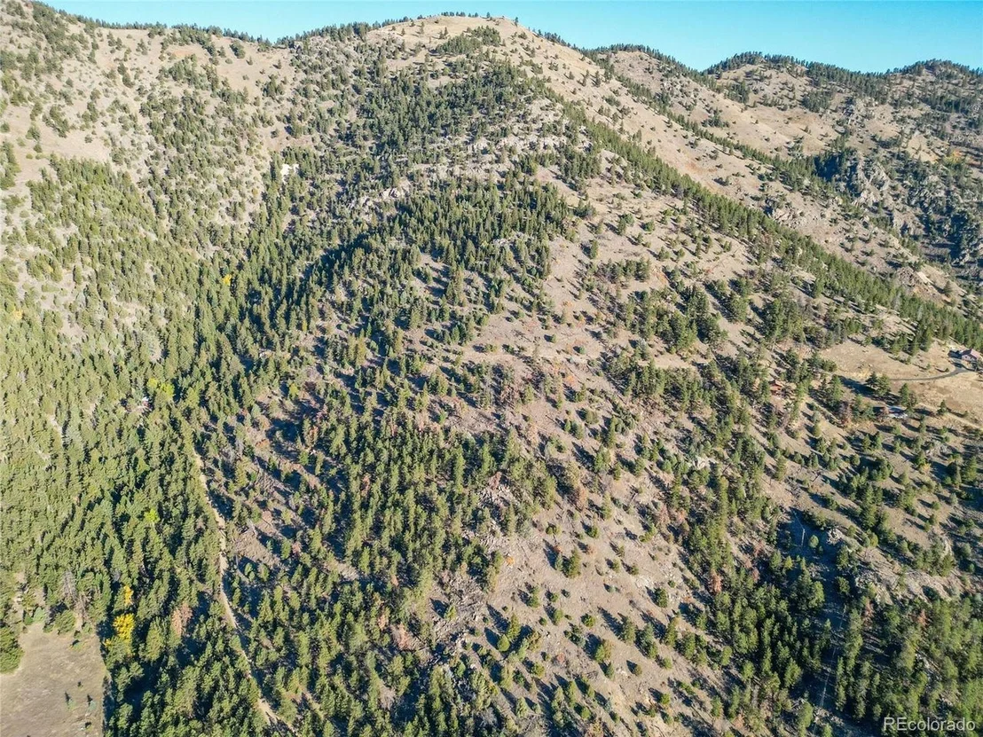
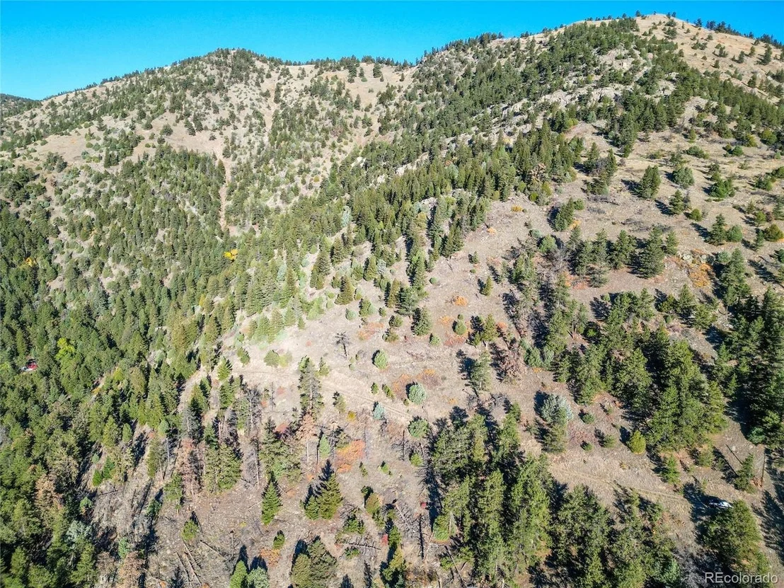
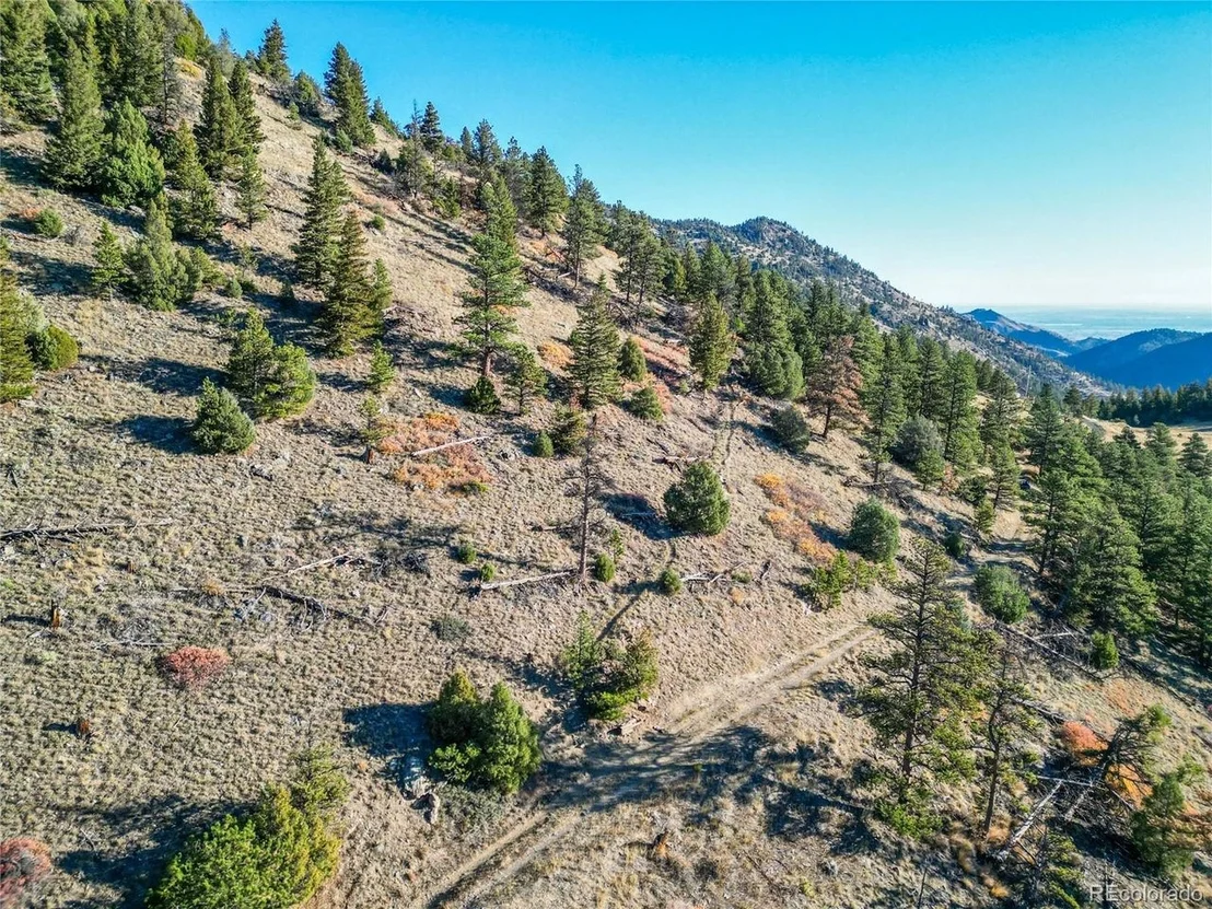
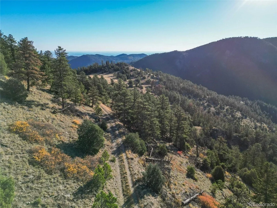
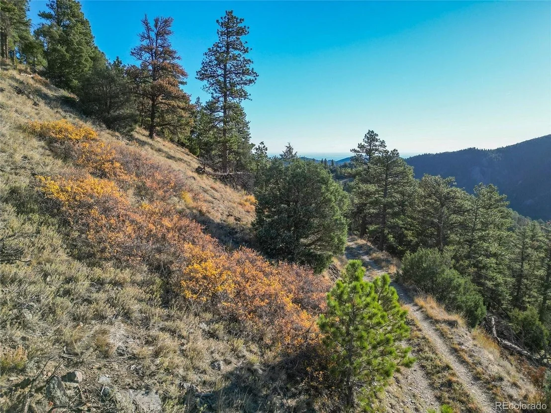
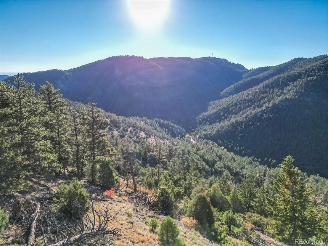
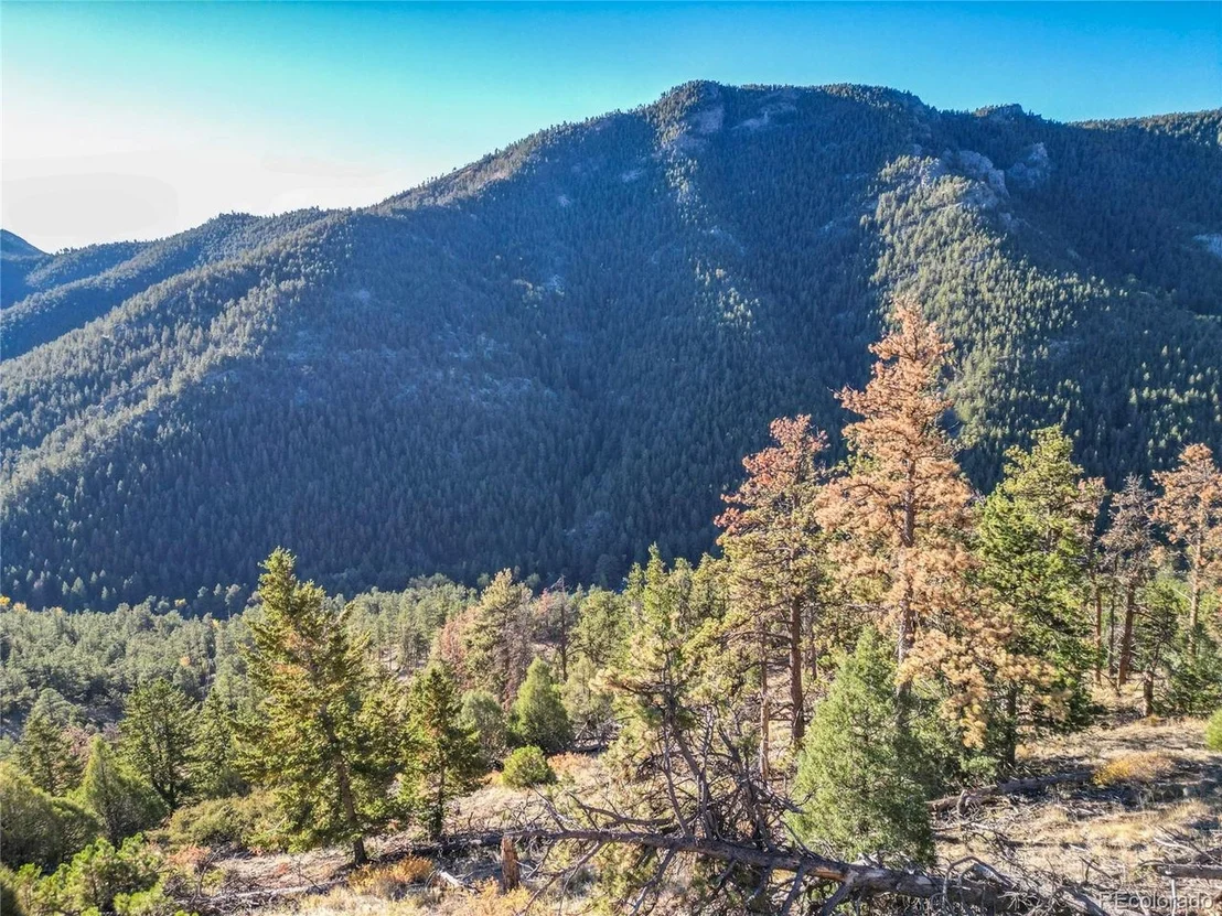
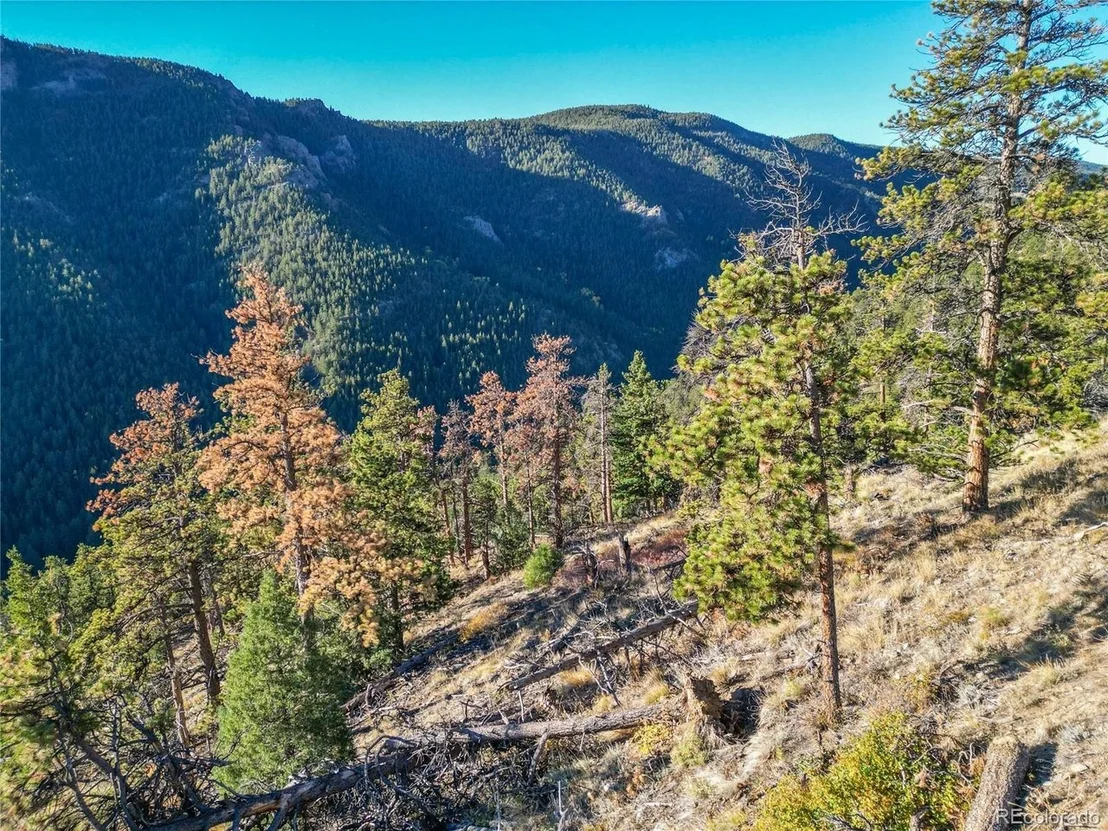
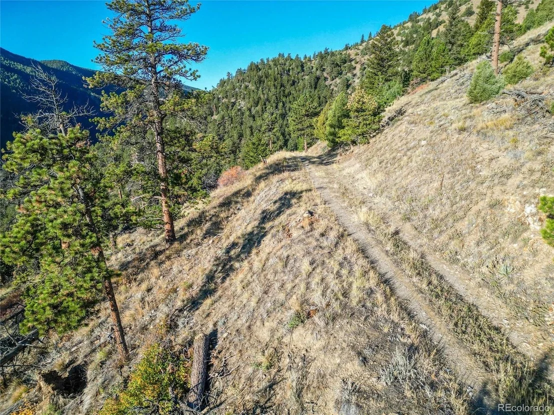
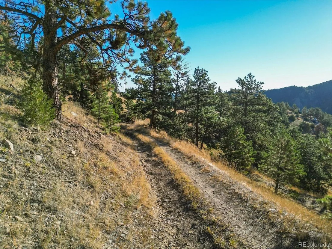
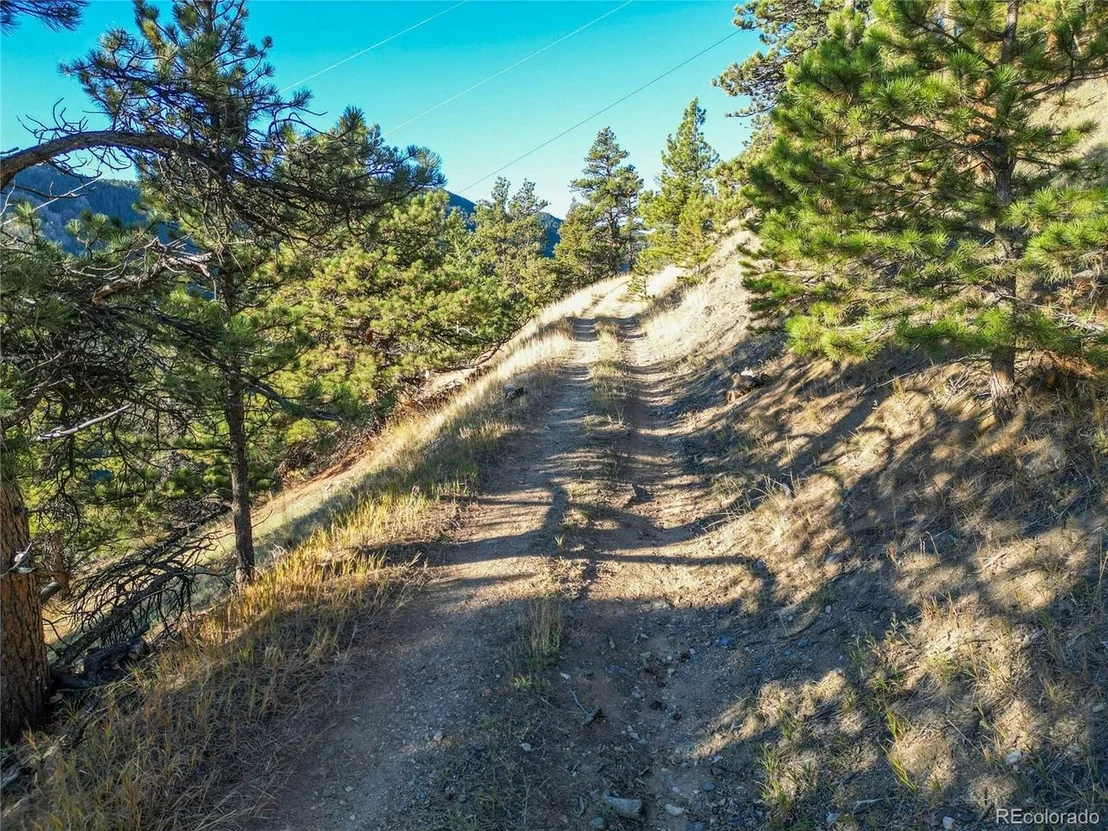
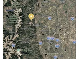
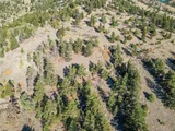
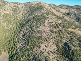
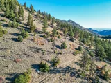
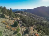
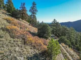
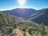
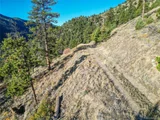
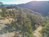
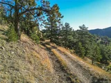
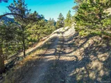
The terrain combines ponderosa pine forest with open, grassy meadows, rock outcroppings, and rolling ridgelines. From the higher ground, views stretch across the surrounding foothills and east to the plains. The ground is mostly sloped, with gentler areas worth exploring as potential building sites.
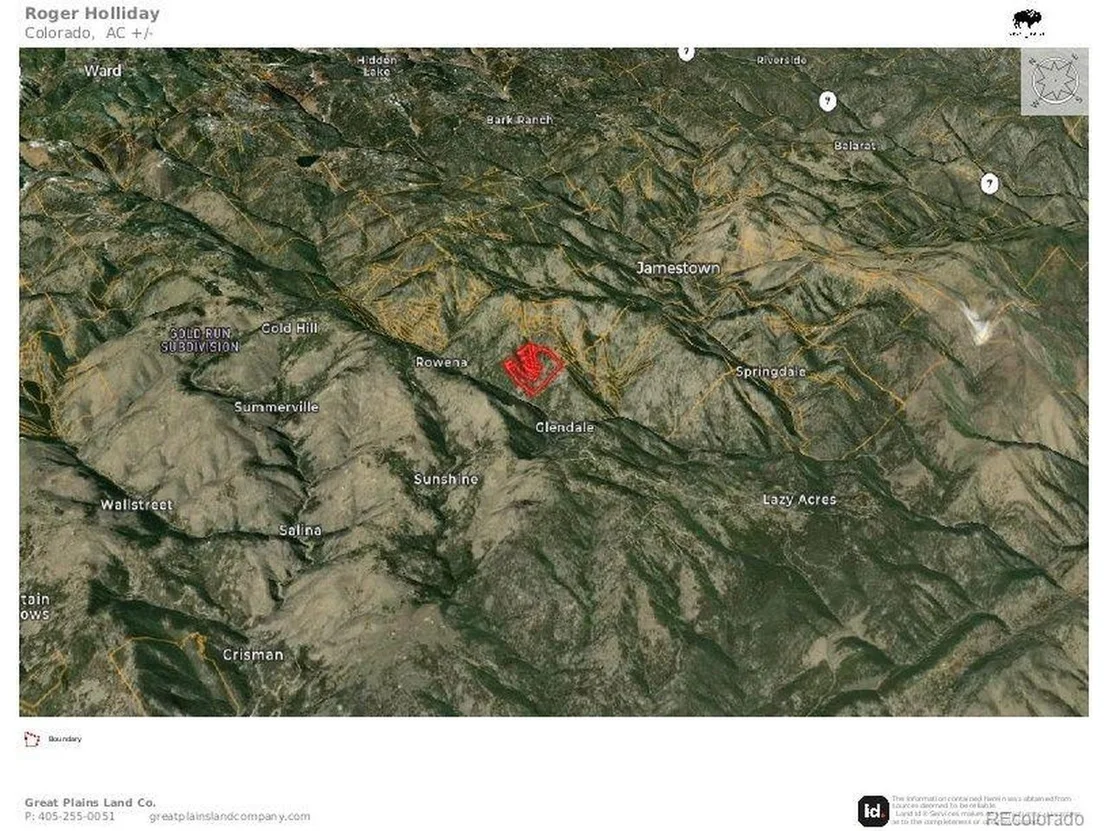
The largest parcel is 38.77 acres. The other two are patented mining claims of 1.35 and 2.88 acres, portions of the Last Dollar and Olympia lodes, privately titled land tied to the canyon's mining history. The property also borders national forest, extending the sense of open space well past the boundary lines.
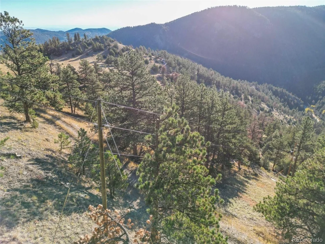
Nugget Hill Road reaches the property from two directions, with access points roughly 862 feet apart, giving flexibility when planning a driveway and homesite. Electric service is available at neighboring properties. Zoned F (Forestry) by Boulder County, within the Boulder Valley RE-2 school district.
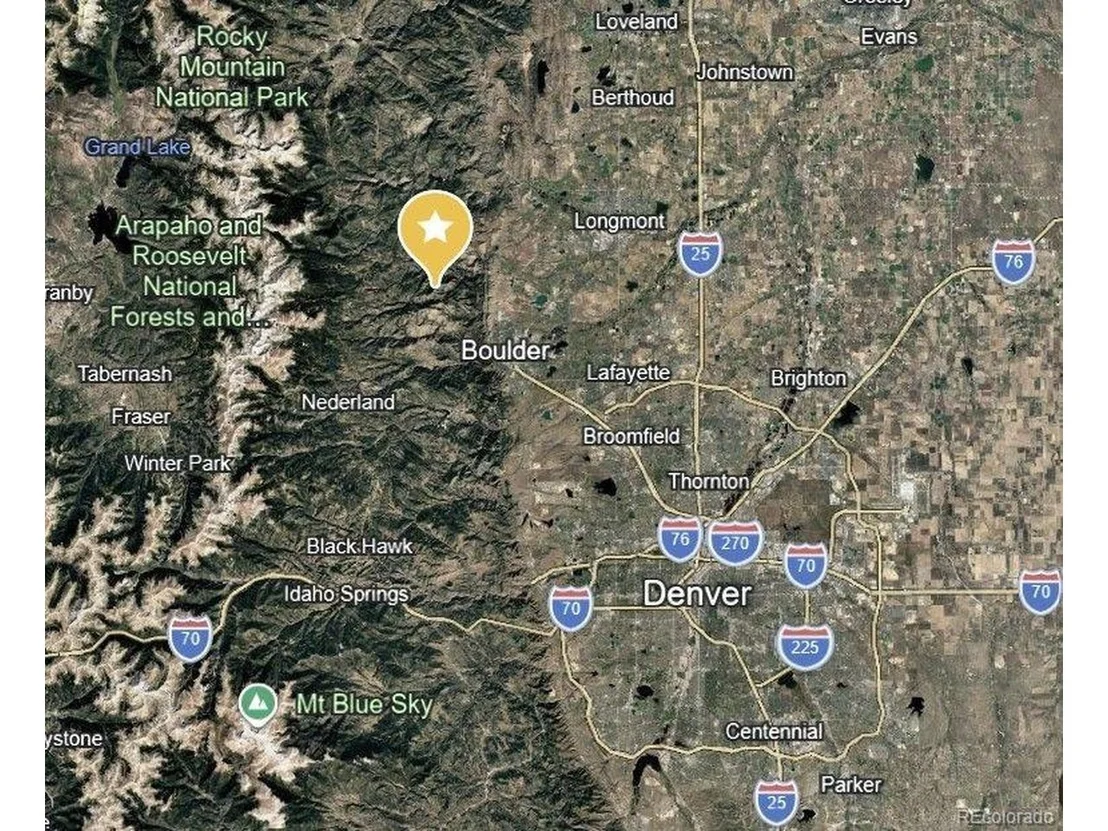
Boulder, Lyons, Longmont, and Nederland are all within reach by canyon road for supplies, dining, and services.
Boundaries are not clearly marked on the ground, so please contact the listing broker for a parcel map and directions before visiting. Buyers should verify building requirements with Boulder County.
Listed By
Payment Calculator
Your Estimated Monthly Payment
Cap Rate Calculator
What does this mean?
Based on our analysis, the cap rate of this property is 1.25%. A negative cap rate indicates that the property might not be feasible as an income-producing asset. The median cap rate for a near zip code 11238 is 4.23%.
How much can I actually make?
Actual monthly rental income may vary between $4,760 and $7,140 depending on unit-specific characteristics. You can change the amount using the slider to further explore.
How is cap rate calculated?
Cap Rate = Net Operating Income (NOI) / Property Asset Value.
When calculating the cap rate, we assume 100% occupancy. Leverage (mortgage) is not considered.
Cap Rate provided by RealtyHop and RentHop, learn more about cap rate here.
Price History
| Date / Event | Date | Event | Price |
|---|---|---|---|
| Oct 21, 2026 | Listed | $300,000 | |
| Listed | |||
| Mar 18, 2025 | Sold | ||
| Sold | |||
| Jan 31, 2025 | In contract | - | |
| In contract | |||
| Sep 12, 2024 | Price Decreased |
$249,000
↓ $50K
(16.7%) | |
| Price Decreased | |||
| Oct 31, 2023 | Listed | $299,000 | |
| Listed | |||
| | |||
|
Spectacular secluded wonderland! Property includes multiple parcels and mineral rights. Total privacy, yet easy access to Boulder, Lyons, Longmont, Nederland, Sugarloaf, Eldora. Gorgeous trees, rocks, wildlife, views in every direction, abuts both state and national forest. Mostly sloped, still buildable. Accessible from two directions, utilities at adjacent properties. Old mining trails, plenty of space for adventure... build your dream mountain home! Contact broker for map and access details.
| |||
Property Highlights
Building Info
Comparables
Status
Price/ft²
Listed On
Sold On
About Boulder
Similar Homes for Sale
Currently no similar homes aroundNearby Rentals

Last Updated: 2 months ago
Data Source: REcolorado MLS, MLS# IRE3617767











 Your Privacy Choices
Phone: 425-283-2930
Address: 335 Madison Avenue, New York, NY 10017