


4
Map
0 hwy 74


About This Property
Listed By
Payment Calculator
Your Estimated Monthly Payment
Cap Rate Calculator
What does this mean?
Based on our analysis, the cap rate of this property is 1.25%. A negative cap rate indicates that the property might not be feasible as an income-producing asset. The median cap rate for a near zip code 11238 is 4.23%.
How much can I actually make?
Actual monthly rental income may vary between $4,760 and $7,140 depending on unit-specific characteristics. You can change the amount using the slider to further explore.
How is cap rate calculated?
Cap Rate = Net Operating Income (NOI) / Property Asset Value.
When calculating the cap rate, we assume 100% occupancy. Leverage (mortgage) is not considered.
Cap Rate provided by RealtyHop and RentHop, learn more about cap rate here.
Price History
| Date / Event | Date | Event | Price |
|---|---|---|---|
| Apr 10, 2026 | Sold | ||
| Sold | |||
| Apr 5, 2026 | Price Decreased |
$170,000
↓ $25K
(12.8%) | |
| Price Decreased | |||
| Feb 27, 2026 | In contract | - | |
| In contract | |||
| Feb 13, 2026 | Price Decreased |
$195,000
↓ $11M
(98.2%) | |
| Price Decreased | |||
| Jan 23, 2026 | Listed by Real Estate Legends USA | $10,800,000 | |
| Listed by Real Estate Legends USA | |||
   | |||
|
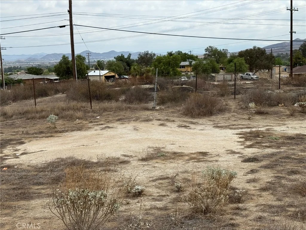
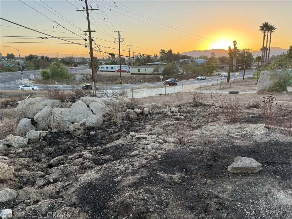
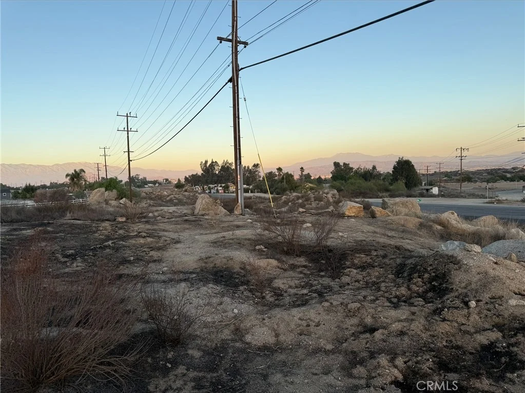
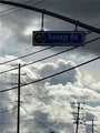
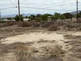
This unimproved 15.25 Acres of Commercial / Mixed Use Land consists of 9 parcels located at the Signal Light on Highway 74 and Navajo Road across from the newly built gas station with approximately half mile of Highway 74 / 4th Street frontage in the City of Perris. Great development opportunity including main sewer line and all utilities in the street. This land is in the Opportunity Zone which has huge tax incentives with beautiful views of the valley hills and mountains. A great opportunity for investors / developers.
| |||

Property Highlights
Comparables
Status
Price/ft²
Listed On
Sold On
About Westside Perris
Similar Homes for Sale
Currently no similar homes aroundNearby Rentals

Last Updated: 7 months ago
Data Source: CRMLS, MLS# SW25233451




 Your Privacy Choices
Phone: 425-283-2930
Address: 335 Madison Avenue, New York, NY 10017