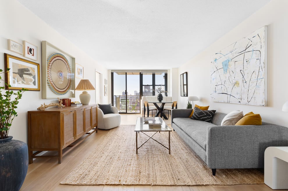
82-5902 Lower Nāpo'opo'o Road
82-5902 Lower Nāpo'opo'o Road, Captain Cook, HI 96704
Property
in
Hawaii
82-5902 Lower Nāpo'opo'o Road has been categorized by the local assessors in Captain Cook, HI as a agricultural type of property.
The building on the property was first built in 2008 and is 16 years old.
The area measurement of the land has been determined as 77,755 square feet.
Want to learn more? We've sourced additional information from the local assessor's office that we've shared on this page with you. Residents will have the luxury of enjoying a covered porch. Here at RealtyHop, we've focused a lot of our efforts into gathering up-to-date and accurate data for our users. Based on our sources, 82-5902 Lower Nāpo'opo'o Road was last sold in Jun 25, 2015 for $460,000. Prior to that sales transaction, the property was sold for $150,000 in Sep 25, 2003. Current property owners are expected to pay $2,481 in taxes per year. Interestingly enough, the initial year of tax delinquency occurred in 2022. The property on 82-5902 Lower Nāpo'opo'o Road was last assessed in 2022. As a result of that assessment, the total value of the property was placed at $265,400. To break that down further, the land itself was valued at $164,600. While improvements to the property were assessed at a total of $100,800. Based on our records, the total assessed value for this property has been marked as less than the total market value as of this moment. Which is great for tax purposes. Speaking of costs, many buyers and sellers often forget to take into consideration the closing costs they may occur. Closing costs can stem from anything mortgage or property related to fees related to your property title. As you'll soon learn from our guide, fees can quickly add up hence why as a rule of thumb, we typically recommend setting aside at least 5% of the purchase price to cover potential closing costs. Don't worry, any additional you save up can always go towards your principal. Better safe than sorry!This property is not listed for sale at this point in time but RealtyHop is constantly updating our inventory of available sales listings in real time. Don't want to miss out on this property? You can save the listing to your favorites by signing up for a RealtyHop account or you can check back frequently for updates.
Want to learn more? We've sourced additional information from the local assessor's office that we've shared on this page with you. Residents will have the luxury of enjoying a covered porch. Here at RealtyHop, we've focused a lot of our efforts into gathering up-to-date and accurate data for our users. Based on our sources, 82-5902 Lower Nāpo'opo'o Road was last sold in Jun 25, 2015 for $460,000. Prior to that sales transaction, the property was sold for $150,000 in Sep 25, 2003. Current property owners are expected to pay $2,481 in taxes per year. Interestingly enough, the initial year of tax delinquency occurred in 2022. The property on 82-5902 Lower Nāpo'opo'o Road was last assessed in 2022. As a result of that assessment, the total value of the property was placed at $265,400. To break that down further, the land itself was valued at $164,600. While improvements to the property were assessed at a total of $100,800. Based on our records, the total assessed value for this property has been marked as less than the total market value as of this moment. Which is great for tax purposes. Speaking of costs, many buyers and sellers often forget to take into consideration the closing costs they may occur. Closing costs can stem from anything mortgage or property related to fees related to your property title. As you'll soon learn from our guide, fees can quickly add up hence why as a rule of thumb, we typically recommend setting aside at least 5% of the purchase price to cover potential closing costs. Don't worry, any additional you save up can always go towards your principal. Better safe than sorry!This property is not listed for sale at this point in time but RealtyHop is constantly updating our inventory of available sales listings in real time. Don't want to miss out on this property? You can save the listing to your favorites by signing up for a RealtyHop account or you can check back frequently for updates.
This property description is generated based on publicly available data.
0 Past Sales
| Date | Unit | Beds | Baths | Sqft | Price | Closed | Owner | Listed By |
|---|

