251 Mt Harmony Road has been categorized by the local assessors in Bernardsville, NJ as a residential type of property.
The building on the property was first built in 1946 and is 78 years old.
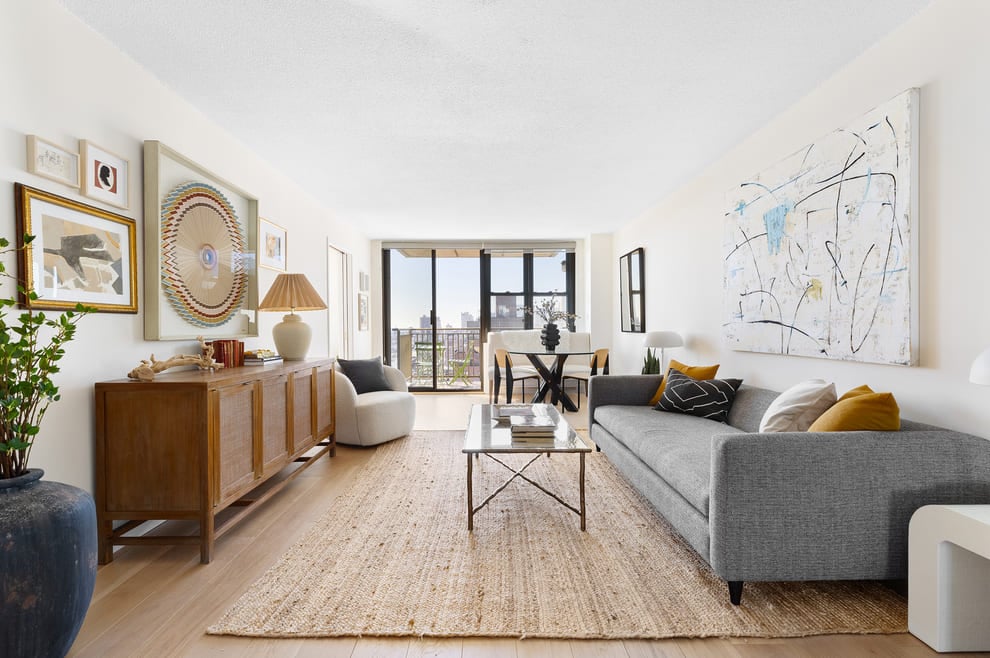
This is a single story building so stairs are not necessary to access other parts of the home.
In addition, 251 Mt Harmony Road has 4,468 sqft of living area. The living area typically only takes into consideration the heated or air conditioned part of the building.
The area measurement of the land has been determined as 429,502 square feet.
Want to learn more? We've sourced additional information from the local assessor's office that we've shared on this page with you. For the features and amenities located on the property. There is a garage for those who require parking. According to our sources, there are a total of 2 available parking spaces. Along the lines of building condition, did you know that weather changes can cause buildings to move? It may sound alarming, but thats why the type of control joints used in the construction of your home is extremely important. Architects often have to plan these out well in advance to ensure the longevity of the building. Therefore, as part of your consideration, you should note that the home was built with frame control joints. We've gathered and summarized the following transaction history in an effort to provide more transparency and up-to-date information for our users. According to our sources, 251 Mt Harmony Road sold most recently in Aug 25, 1994 for a total of $835,500. If you work out the math, that's approximately a cost of $187.00 per sqft. There could be many factors that caused the property to sell at a higher price and increase in value. Tax-wise, the current owner is expected to pay close to $26,802 in taxes each year. 251 Mt Harmony Road was most recently assessed in 2023. During this assessment, the property's total value was estimated to be about $1,334,100. If we break it down further, the land itself was valued at $820,400. Improvements to the property, however, were assessed at a total of $513,700. The property's total assessed value has been marked as more than the total market value which is pretty atypical. Looking to take out a mortage loan? You may want to consider a conventional loan, which is considered one of the most common type of loans on the market. We'll cover the two different types of conventional loans (aka conforming and non-conforming), the pros and cons, and how they could benefit you compared to a FHA or specialty loan. Read more about conventional loans and how you can qualify for one.Sadly, this property is not available for sale but we are constantly updating our inventory in real time. Sign up for a RealtyHop account and add this property to your favorites to get updates on when this property is back on the market. Or alternatively, you can check back frequently for updates.
Want to learn more? We've sourced additional information from the local assessor's office that we've shared on this page with you. For the features and amenities located on the property. There is a garage for those who require parking. According to our sources, there are a total of 2 available parking spaces. Along the lines of building condition, did you know that weather changes can cause buildings to move? It may sound alarming, but thats why the type of control joints used in the construction of your home is extremely important. Architects often have to plan these out well in advance to ensure the longevity of the building. Therefore, as part of your consideration, you should note that the home was built with frame control joints. We've gathered and summarized the following transaction history in an effort to provide more transparency and up-to-date information for our users. According to our sources, 251 Mt Harmony Road sold most recently in Aug 25, 1994 for a total of $835,500. If you work out the math, that's approximately a cost of $187.00 per sqft. There could be many factors that caused the property to sell at a higher price and increase in value. Tax-wise, the current owner is expected to pay close to $26,802 in taxes each year. 251 Mt Harmony Road was most recently assessed in 2023. During this assessment, the property's total value was estimated to be about $1,334,100. If we break it down further, the land itself was valued at $820,400. Improvements to the property, however, were assessed at a total of $513,700. The property's total assessed value has been marked as more than the total market value which is pretty atypical. Looking to take out a mortage loan? You may want to consider a conventional loan, which is considered one of the most common type of loans on the market. We'll cover the two different types of conventional loans (aka conforming and non-conforming), the pros and cons, and how they could benefit you compared to a FHA or specialty loan. Read more about conventional loans and how you can qualify for one.Sadly, this property is not available for sale but we are constantly updating our inventory in real time. Sign up for a RealtyHop account and add this property to your favorites to get updates on when this property is back on the market. Or alternatively, you can check back frequently for updates.
This property description is generated based on publicly available data.

251 Mt Harmony Road, Bernardsville, NJ 07924
By submitting your information, you agree RealtyHop can share your information with its network of real estate & mortgage professionals (or through their agents) and consent to receive marketing emails, calls, & texts related to your inquiry (including via automatic telephone dialing system, or artificial or pre-recorded voice technology) from Movoto or their affiliates to the email address or number you provided. By proceeding, you agree to our Terms of Service.